
Citrus Heights ZIP Code Coverage
The verified residential ZIP codes associated with Citrus Heights are 95610 and 95621. The south/east and north/west descriptions below are useful orientation only. A street can sit near a postal edge, and a postal label does not settle whether the parcel is inside the incorporated city. Confirm an exact address through USPS, then compare the parcel record with the County jurisdiction field before treating the result as a Citrus Heights address.
| ZIP | Areas Covered | Post Office | Notes |
|---|---|---|---|
| 95610 | Generally south and east Citrus Heights, including portions near Sunrise and Greenback, Park Oaks, Sunrise Ranch, Sylvan and Old Auburn, and Birdcage Heights. | USPS city and state lookup; no separate 95610 facility was verified in the research. | Orientation only. Verify every street address. |
| 95621 | Generally north and west Citrus Heights, including Northwest, Rusch Park, CHANT and Arcade Creek, plus northwestern areas near Antelope Road and Interstate 80. | Citrus Heights Post Office, 6330 Fountain Square Drive, Citrus Heights, CA 95621-9998, 916-725-1290; Antelope Post Office, 7828 Zenith Drive, Citrus Heights, CA 95621-1082. | The facility name is not a city-limit finding. Verify the parcel. |
The table describes postal orientation rather than an exact polygon. The County research identifies 95610 and 95621 for Citrus Heights, while the USPS tools answer an address-level delivery question. A ZIP code directory should not turn a neighborhood label into a claim about every parcel, household, or public record in that area.
The USPS city and state ZIP lookup is the right first check when a Citrus Heights address needs delivery confirmation.
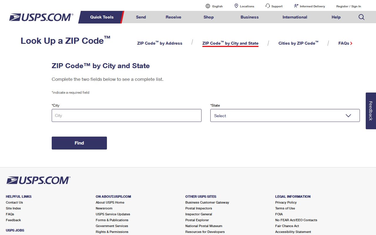
That address-level result can validate the postal format, but it does not identify an owner, a resident, or the municipal jurisdiction of the parcel.
Citrus Heights Postal Offices and ZIP Labels
Post office facilities show why postal geography needs its own check. The named Citrus Heights facility uses 95621-9998 and sits at 6330 Fountain Square Drive. Its published phone is 916-725-1290. The ZIP code directory can use those details to explain where a mailing route is served, but a facility address is not proof that every nearby parcel shares the same city or ZIP.
The USPS listing for the Citrus Heights Post Office supplies the facility reference for a 95621 address.
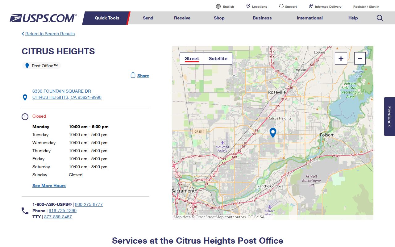
The facility record is useful for postal service context, while the County parcel record remains the better source for jurisdiction, APN, map fields, and property-record routing.
The USPS listing for the Antelope Post Office shows a second postal quirk: the facility is called Antelope but its street address is 7828 Zenith Drive in Citrus Heights with ZIP 95621-1082.
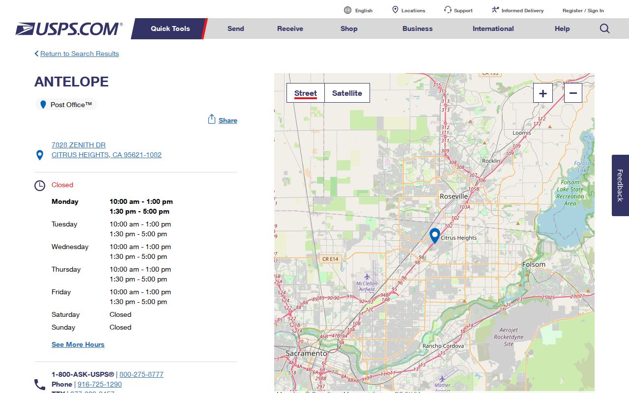
The Antelope name describes the facility label, not an annexation, neighborhood boundary, or change in City government. Treat the mailing city, facility name, and incorporated jurisdiction as three separate facts.
The 95611 Citrus Heights ZIP Code Exception
95611 can appear beside 95610 in USPS routing material, but the research did not verify it as a separate general residential ZIP serving Citrus Heights city addresses. It must not be presented as a third Citrus Heights ZIP in a resident directory. The safest use is to treat it as a routing or PO-box-related exception until USPS verifies a particular address.
No authoritative ZIP split, realignment year, or local polygon for 95611 was established. Do not draw a residential search area from the number alone. If a letter, old directory, or family record carries 95611, run the complete address through USPS and retain the result with the record date.
Note: A routing-table appearance can point to a postal service relationship without proving a city parcel, neighborhood, or household location.
Citrus Heights ZIP Code Lookup Fields
The USPS lookup has a narrow role: turn an address or postal locality into a delivery ZIP result. It is not an owner search. The County tools have a different design, so a ZIP code directory works best when each field is read for what it can actually answer.
| Lookup field or result | Use in ZIP research | Limit |
|---|---|---|
| Street address | Checks the delivery ZIP for a particular Citrus Heights address. | Does not identify the owner, resident, or legal parcel. |
| City and state | Returns postal ZIP information associated with a locality search. | Postal locality is not the same as incorporated City jurisdiction. |
| Standardized city, state, and ZIP result | Helps format a mailing label and compare an old record with a current address. | It is not a ZIP-wide list of people or properties. |
| County parcel address and APN | Moves the question from delivery geography to the assessed parcel. | The Parcel Viewer has no verified ZIP-wide advanced filter and suppresses owner identity online. |
USPS confirms delivery geography; the Parcel Viewer confirms parcel geography. Neither one proves who lives at an address. That distinction keeps a ZIP search useful for sorting records without turning a postal result into an unsupported identity claim.
Citrus Heights ZIP Code and City Jurisdiction
Postal city and municipal city are different fields in Sacramento County records. The Parcel Viewer reports Address, Postal City/ZIP, Jurisdiction, Assessor Parcel Number, and map or lot fields as separate values. A Citrus Heights mailing label can therefore require a jurisdiction check before a request goes to City Hall, the County, or another custodian.
ZIP and city check. A Citrus Heights postal label does not establish that a parcel lies inside Citrus Heights city limits. Verify the Parcel Viewer Jurisdiction field and the official boundary source before choosing a city records office.
The Sacramento Local Agency Formation Commission maps portal is a useful boundary reference for jurisdictions and special districts.
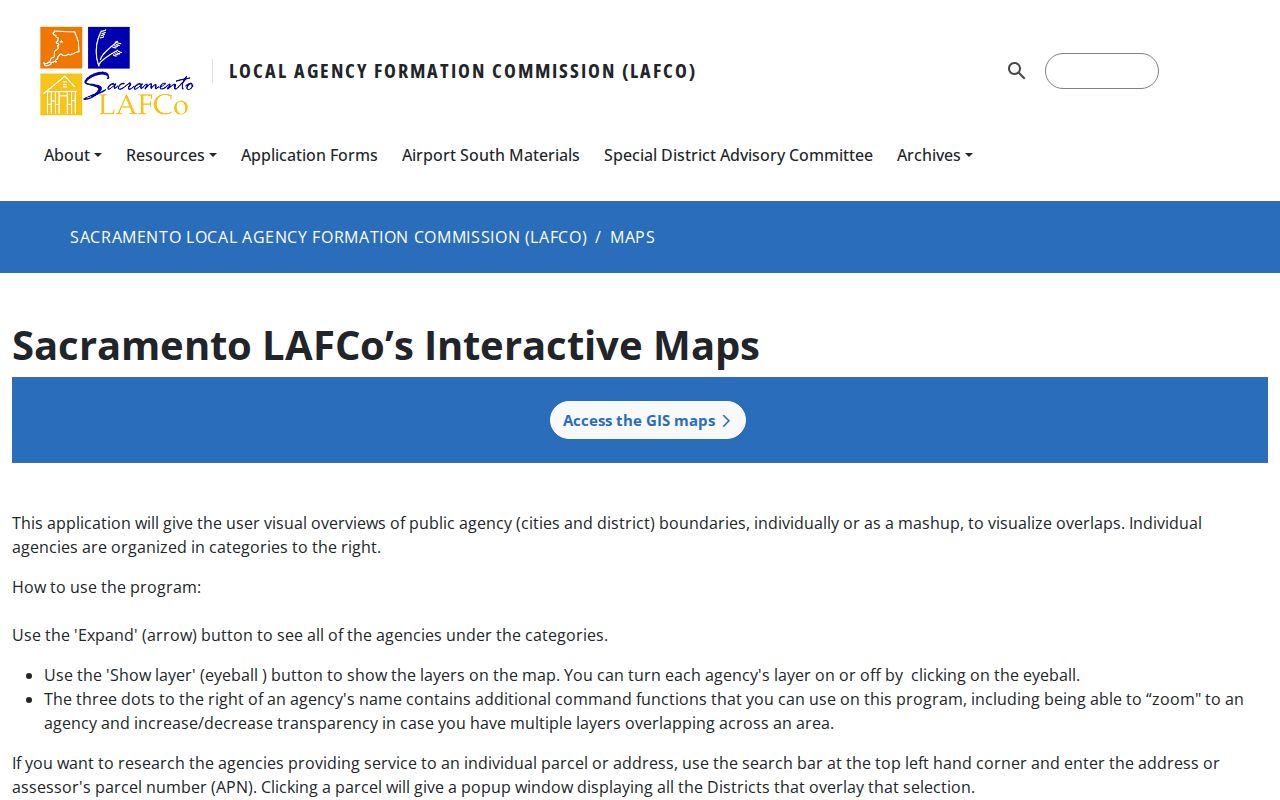
Map context helps flag an edge case, but the address-level parcel record is still needed. A ZIP code directory can narrow a question; it cannot replace the jurisdiction field used to route a permit, planning file, or municipal request.
Citrus Heights ZIP Code Records
An APN is the County assessment locator for a parcel. It can connect a delivery address to map, lot, block, unit, assessed-value, land-use, and transfer-reference fields. A legal description is different: it is the land description in a recorded instrument, such as a subdivision lot and map or a metes-and-bounds description. ZIP research becomes more reliable when the ZIP result is followed by both the APN and the legal description.
The Assessor may accept a request that specifies a situs ZIP or street, the desired public roll fields, and an assessment year. The Recorder index is searched by party, document, date, title, book, page, or document reference, with no verified ZIP filter. The City permit portal exposes account and project functions, but no public ZIP-wide search was verified. A ZIP code directory therefore sorts the starting address, while APN and document references carry the record trail.
Keep situs and mailing addresses distinct. Situs means the assessed property location. Mailing means where a tax notice or other correspondence is sent. A different mailing address can point to an off-site owner, a trust, a management address, or a mailing choice, but it does not prove residence.
Citrus Heights ZIP Code Portal Limits
Each local portal has a different search field and access boundary. The following limits are more useful than a promise of a single ZIP-wide resident list.
| Portal | Search path or field | ZIP-wide result |
|---|---|---|
| Sacramento County Parcel Viewer | Address or APN omnibox, map click, Point, Line, Rectangle, or Custom selection. | No verified ZIP-wide filter. Owner names are suppressed online. |
| Sacramento County Assessor records | Office or request channel can specify a situs ZIP or street and public fields. | Custodian-defined request, not a public search box. |
| Sacramento County Recorder index | Party, document date or number, title, and book/page controls. | No verified ZIP filter; images are not online in the index. |
| Citrus Heights permit portal | Account-associated project, permit status, inspections, and uploads. | No public ZIP-wide history was verified. Use a City records request for an address file. |
| Sacramento County voter file | Written request, identification, payment, product, and permitted election-law purpose. | Purpose-limited data access, not a casual ZIP resident directory. |
| USPS ZIP lookup | Address or city and state delivery lookup. | Verifies a delivery ZIP, not a resident, owner, or city boundary. |
The Sacramento County online services page shows the countywide starting point for address-based services. It can help route a question to the right office, but it is not a directory of residents or a ZIP-wide parcel export.
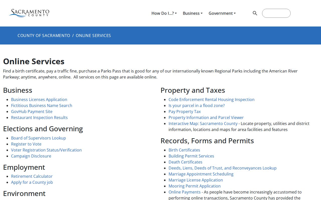
Use that service pathway to identify the responsible custodian, then carry the full address or APN into the narrower search. The ZIP result remains a sorting field, while the requested record determines what can actually be disclosed.
The absence of a ZIP filter is a meaningful result. It tells the researcher to use an address, APN, party name, or precise public-record request rather than guess that a portal can export every record in 95610 or 95621.
Find Citrus Heights Residents ZIP by ZIP
A ZIP-by-ZIP search should move from the least invasive delivery check to the record custodian that can answer the real question. The sequence below keeps a mailing label from doing work that belongs to a parcel, court, library, or election record.
- Run the complete address through USPS and save the returned city, state, and ZIP with the date checked.
- Search the address or APN in the County Parcel Viewer. Record the APN, Postal City/ZIP, Jurisdiction, map or lot fields, and transfer document reference.
- If ownership is necessary for a lawful records question, use Assessor lobby computers or a focused electronic County public-record request for the public owner and mailing fields. Do not treat the online card as a name search.
- Use City Hall for a disclosable permit, planning, code, or address record when the parcel jurisdiction is Citrus Heights. Pre-1997 material may follow Sacramento County custody because the City incorporated in 1997.
- Use voter information only through the voter’s own authenticated lookup or an authorized County voter-file request. For a deed or lien, move from the parcel transfer reference to the Recorder party and document search.
Once a ZIP narrows the address set, the Citrus Heights street directory is the better place for the full parcel-by-parcel address workflow. A ZIP result remains an orientation key, not a claim about a household.
Citrus Heights ZIP Code Terms
Postal terms can sound alike while pointing to different records. These short definitions keep a ZIP code directory precise.
- ZIP code
- A USPS delivery area code used to sort and route mail. It does not define a city government boundary.
- ZIP+4
- The four-digit extension after the five-digit ZIP code that narrows delivery to a segment, building, floor, or other routing unit.
- PO-box ZIP
- A ZIP used for post-office box delivery or a limited postal facility relationship. It should not be assumed to describe a residential street.
- Unique ZIP
- A ZIP assigned to a single organization or institution rather than a broad neighborhood delivery area. No Citrus Heights unique residential ZIP was verified here.
- Carrier route
- A postal delivery path within a ZIP. It is a sorting and delivery concept, not a public list of the households on the route.
These terms explain why 95611 should not be added as a third general Citrus Heights ZIP without an address-level USPS result. The exact delivery record controls.
Citrus Heights ZIP Code History
ZIP labels also carry a history warning. Citrus Heights became an incorporated city effective January 1, 1997, but the community was recorded under Sacramento County, Central Township, Sylvan, and other older geographic labels before cityhood. The “Citrus Heights” name was promoted around the 1910 subdivision period. Older family records may therefore use a county or Sylvan label even when the physical place is inside today’s city.
For a historical resident question, pair the present delivery address with County deeds, maps, directories, census indexes, newspapers, or the Sacramento Room local-history holdings. A current ZIP code directory can orient the modern address, but it cannot create a continuous city record trail for years when no municipal government existed.
Note: Postal geography changes by delivery need, while historical custody follows the office and locality that created the record.