
Finding Citrus Heights Streets by Address
A street directory search in Citrus Heights should begin with the parcel, not with a guessed household list. Sacramento County’s parcel tools can locate the property and show whether the current jurisdiction is Citrus Heights or another governmental area. The assessor card then supplies the APN and transfer reference needed for the County Recorder. The lawful owner channel is separate because the online card suppresses the name.
Keep the result labels exact. A situs address is the place being assessed. A mailing address is where tax correspondence goes. A deed records an interest. A voter record is purpose-limited. A reverse directory is a publication snapshot. Those distinctions prevent an address search from turning a parcel owner into an unsupported claim about who lives there.
- Enter the complete street address in the Sacramento County Assessor Parcel Viewer. Select the matching parcel and copy the APN, postal city and ZIP, jurisdiction, map fields, lot or block, and transfer document.
- Use the map to pan along the same street and click nearby parcels. Point, Line, Rectangle, and Custom selection can gather a segment, with an optional distance buffer for a defined radius.
- Obtain the secured owner and mailing address through the Assessor lobby computers, office contact route where allowed, or a focused NextRequest request. Do not call a mailing address a residence.
- Search the Recorder by party, document, date, or book and page. Use the current transfer reference and legal description to start a backward deed chain.
- Treat California My Voter Status as a self-lookup. A casual visitor cannot enter a Citrus Heights street and retrieve every registered voter online.
- Check a library reverse or criss-cross directory, census schedule, obituary, or permit file for a dated occupant clue. Compare two independent anchors before accepting a same-name match.
Citrus Heights Parcel Viewer Fields
The Sacramento County Assessor Parcel Viewer accepts an address or APN in one search box. A map click is also valid when the address has a spelling, directional, or postal-city problem. The selected card can show APN, Address, Postal City/ZIP, Jurisdiction, assessor roll status, tax-rate area, land-use code, filed map book and page, map name, block, lot, unit, property description, parcel area, and a last ownership transfer document.
The Sacramento County Parcel Viewer is free to use, but the card deliberately omits the owner or assessee name. Owner and mailing fields remain public through the Assessor records channel, its lobby computers, or a properly scoped electronic request. The visible homeowner exemption field can be a clue about an owner-occupancy claim at a roll date, but the underlying claim is confidential and it says nothing about renters or other household members.
The official Sacramento County Parcel Viewer screenshot is a useful reference for the starting point.
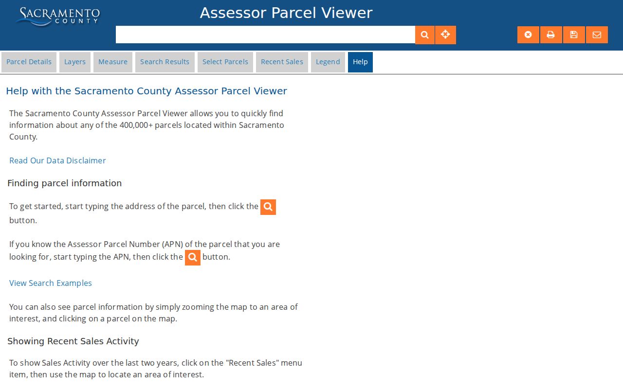
Use the card as a bridge to the owner channel and deed index, not as a promise that the displayed parcel contains one known household.
| Field or control | Street-search use |
|---|---|
| Search box | Accepts a property address or APN; it has no verified owner-name or ZIP-wide mode. |
| Parcel Details | Opens APN, Address, Postal City/ZIP, Jurisdiction, map, lot, block, unit, and transfer fields. |
| Map click | Finds a parcel after zooming to a street when direct address text fails. |
| Select Parcels | Point, Line, Rectangle, or Custom polygon, plus an optional distance buffer. |
| Transfer document | Provides the Recorder reference to carry into a party-based deed search. |
| Owner name | Suppressed online; use the lobby, office, or NextRequest channel. |
- Parcel
- A County assessment unit identified by an APN. It is a locator, not the full legal description.
- Situs address
- The physical location assigned to the assessed property, distinct from a tax mailing destination.
- Plat
- A filed subdivision map that can supply map, block, lot, and unit context for a deed.
- Criss-cross directory
- A reverse directory arranged by address or street, usually showing a listed occupant or subscriber for a publication year.
Note: Parcel lines and measurements are approximate; use filed maps and legal descriptions for deed continuity, not the viewer’s graphic boundary.
Citrus Heights GIS Street Browsing
The Sacramento County General Map adds spatial context to the parcel card. Search an address or APN, zoom until parcel outlines are clear, then click the target and adjoining polygons. A Line or Rectangle selection can follow both sides of a short street segment, while a Custom shape can fit an irregular block. The buffer control expands the selection by a distance, including a free-form feet value when that option is chosen.
Preserve the jurisdiction and postal city shown for every selected parcel. ZIP, city label, municipal boundary, and tax jurisdiction can disagree at the edges. County GIS measurements are estimates and are not legal or engineering surveys. The map is for orientation and record routing, not for deciding a property line.
The Sacramento County General Map shows the adjacent-parcel view used for a street-by-street walk.
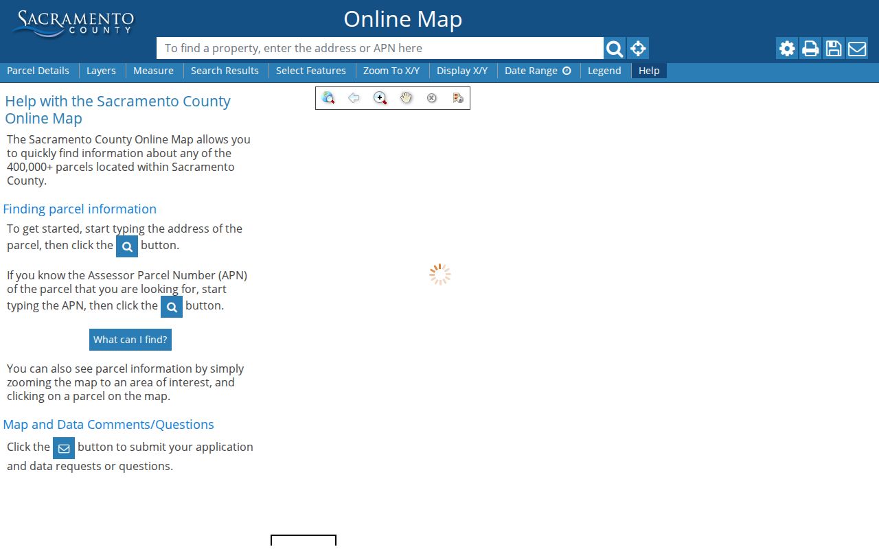
Once each parcel has its own APN, a street directory project can keep neighboring parcels distinct rather than merging a whole block into one result.
Citrus Heights Records by Street
Address-keyed evidence comes from several custodians. The table keeps the search path and the boundary of each record set visible. It also explains why the street directory is a chain rather than one public list.
| Record | Keeper | Address entry | Limit |
|---|---|---|---|
| Parcel Viewer | Sacramento County Assessor | Address or APN, map click, spatial selection | No online owner name, renter, or household list |
| Secured assessment roll | Sacramento County Assessor | Lobby ownership search or request by situs range | Mailing address is not proof of residence |
| Recorder index | Sacramento County Clerk/Recorder | Party, document, date, title, book and page | No verified address search or online images |
| Building and planning files | Citrus Heights departments | Account project or focused City request by address/APN | No public address-wide portal was verified |
| Voter information | California and Sacramento County Elections | Self-lookup or permitted-purpose file request | No casual street roll; protected fields withheld |
| Reverse directory or census | Library, archive, or federal collection | Year, address section, enumeration area, or name | Coverage and address format vary by edition |
The APN ties the parcel card to a deed reference and map fields. The legal description ties an instrument to the land when a street spelling changes. A permit can date work, while a directory or census can place a named household at a point in time. None of these layers alone proves that every person at an address was listed.
Note: The Recorder index is free to search, while document copies and office viewing use separate channels and fees.
Situs and Mailing Addresses in Citrus Heights
The situs address locates the assessed property. The mailing address is the destination used for the tax notice. They can match, but a different mailing address can reflect an absentee owner, trustee, management address, or a simple preference. The assessor’s owner and mailing fields are public through the office, but the online viewer does not display them.
Do not use a mailing address as a current-resident claim. A condominium, trust, business, or parcel with multiple units can make the difference especially important. For a lawful record request, specify the situs street or range, desired public fields, assessment year, and electronic format. For a household question, add a dated directory, census, obituary, or other independent source.
Parcel lines are approximate. The County’s parcel-map guidance says an APN can change after a split and that a legal description or filed map is the stronger deed bridge.
The Assessor parcel-map guidance explains the map and legal-description limits.
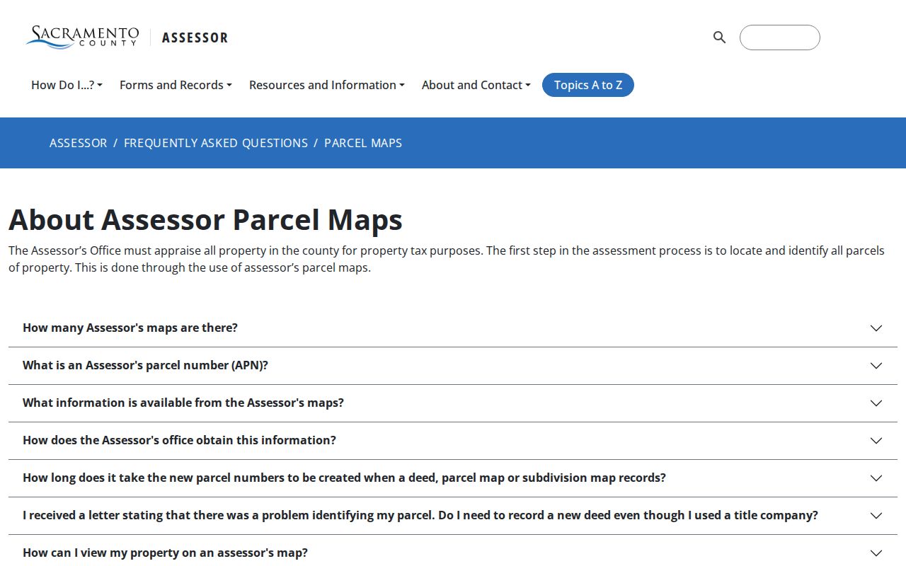
That distinction keeps a Citrus Heights street directory anchored to the land record without confusing a mailing destination with the people who use the property.
From Citrus Heights Parcel to Deed
The Recorder’s General Index is primarily party, document, date, title, document-number, and book-page based. No verified public control provides a dependable address search, and the online index does not show document images. Start with the transfer document from the Parcel Viewer or the secured owner record, then constrain the party search by date and legal description.
A current transfer result can lead backward. Read the instrument for grantor, grantee, recording date, execution date, vesting, and the legal description. Search the seller as an earlier grantee, then repeat. Trust names, middle initials, spouses, and spelling variants can matter. A same-name hit without the same parcel or chronology is only a possibility.
The Recorder index reaches 1849 and is generally refreshed within two business days, but the instrument itself must be viewed or ordered through the office. Copy the document number or book and page before moving to the next link in the chain.
Citrus Heights Permits by Address
Citrus Heights Building and Safety’s customer portal supports an account holder’s permit application, project status, inspection scheduling, and document uploads. The research did not verify an unauthenticated public address-history search. A contractor or permit applicant may therefore see an account-associated project while a neighbor cannot browse every permit for a street.
For an older or unlisted project, use a City Clerk CPRA request. Ask for all disclosable building permits, inspection histories, planning entitlements, or code-enforcement records for the normalized address and APN over a stated date range. Include a prior address or APN if a split is possible. Plans and declarations may be redacted, and permit evidence dates construction or alteration rather than a move-in.
The Citrus Heights Building and Safety page is the verified portal and contact route. City records begin with city custody after incorporation, while older development evidence may remain with Sacramento County.
Note: An account-linked permit result cannot be treated as a complete address history for the street.
A Reverse Directory for Citrus Heights
A criss-cross or reverse directory turns an address into a listed occupant or telephone subscriber for a particular edition. It can help bridge a deed gap, especially when a surname is misspelled or initials hide the alphabetical entry. It is not a list of every household member. A renter may appear as a subscriber, an owner may be absent, and an omitted address may reflect coverage rather than vacancy.
Check the title page and included-localities page before using a Sacramento city or county volume for a rural Sylvan address. Record the printed name, spouse notation, occupation, address, telephone entry, and any abbreviation key. Compare adjacent editions, then pair the address with a deed, census, obituary, or permit. The historical collection itself is described on the Citrus Heights city directory page.
Citrus Heights ZIP and Jurisdiction Checks
Citrus Heights is associated with postal ZIP codes 95610 and 95621. The Parcel Viewer separately reports Postal City/ZIP and Jurisdiction, so the fields should be copied rather than assumed. The 95621 Citrus Heights Post Office is at 6330 Fountain Square Drive, while the Antelope-named facility at 7828 Zenith Drive also lists a Citrus Heights 95621 address. A facility name does not define a municipal border.
The County map, USPS address verification, and parcel jurisdiction should be read together. No verified ZIP-wide Parcel Viewer filter exists, and no verified citywide street-renumbering or blanket address-grid year was found. Use the exact address and APN when postal city, city limits, and county service areas appear to disagree.
County jurisdiction and special-district maps are available through the Sacramento Local Agency Formation Commission map page. It is a boundary check, not a people directory.
Citrus Heights Voter Limits by Street
California My Voter Status requires first name, last name, date of birth, and identity-number matching through a California driver license or identification number or the last four Social Security digits when requested. It is a voter’s own status service. A failed lookup does not prove that a person is not registered, because spelling, recent activity, confidential registration, or an identity mismatch can intervene.
Sacramento County voter-file requests require an application, identification, payment, and a permitted election, scholarly, journalistic, political, or governmental purpose. The file can contain names, residence and mailing addresses, party, precinct, district, and voting participation history, but the release rules withhold signatures, driver-license data, Social Security numbers, and other protected fields. That process is not a casual house-by-house street search.
DMV address data is separately restricted under the Driver’s Privacy Protection Act. Utility customer lists and private household rosters are not a fallback for a street directory.
When the question shifts from a whole street to one person, the Citrus Heights resident lookup workflow keeps identity checks separate from the address chain.
Note: ZIP labels and voter fields answer different questions, so neither should be used as a shortcut for residency.
Limits of a Citrus Heights Street Directory
A Citrus Heights street directory can show parcels, assessed ownership through the proper channel, recorded parties, city-file evidence where disclosable, and historical listed occupants. It cannot show every person who lives at an address. Renters, family members, protected voters, utility customers, and people omitted from a publication remain outside the ordinary public chain.
Ownership, occupancy, and identity are different claims. The strongest result states which one the source supports, gives the source date, and names the missing proof. A same-name deed party, old phone subscriber, or tax mailing address should never be presented as a current resident without independent evidence.
Lawful use. Citrus Heights street and address records are appropriate for personal genealogy, house history, civic research, and other lawful purposes. Do not use them to stalk, harass, intimidate, trespass, impersonate, or harm anyone.
Citrus Heights Street History Since 1997
Citrus Heights incorporated effective January 1, 1997, after a long local cityhood effort. Before that date, land, permits, planning, voter, court, and assessment evidence was generally created or indexed through Sacramento County. A modern Citrus Heights mailing label can therefore sit on top of a County-era record trail.
Search older material under Central Township, Sylvan, Sylvan District, Sacramento County, and the later Citrus Heights name. The research did not verify a citywide renumbering event or year. Do not invent a conversion between an old and new street number. Instead, compare APN, filed map, lot or block, road names, deeds, and local maps one address at a time.
This history is the reason a careful street directory keeps the modern parcel search and the historical reverse-directory search as two linked but separate layers.